Black Ridge
| Elevation | 1064 metres |
| Prominence | 184 metres |
| Location | -33.1228, 149.9065 |
| Region | North-West |
| Points | 4 |
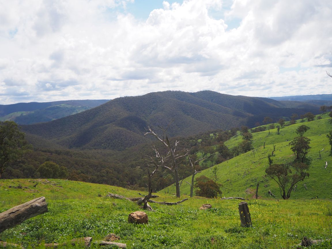
A large, rounded mountain made of ancient rocks. A relatively easy walk with some good views to be had along the top ridge.
Driving directions
Drive north from Lithgow along Castlereagh Highway. After passing Capertee, turn west onto Upper Turon Road. Follow this dirt road for 9km. There are some views of Black Ridge to the north west. The road descends steeply to the Turon River. Park near the junction of Round Swamp Creek and Turon River.
Directions to the summit
1. Walk down to Round Swamp Creek and cross over. It is quite pretty here. Start walking straight up the hill to the west. It is steep.
2. When you reach the top of the first climb, turn north. You should find a wide fire trail. You can follow this fire trail all the way to the summit.
3. There is an interesting open knoll here. You can get a view of the mountain in front of you. Keep following the firetrail to the north.
4. After a steep climb you are at the top of the main ridge. There are a few places along the ridge where breaks in the trees afford good views of the mountains to the east. You can see Blackmans Crown, Pantoneys Crown and Jews Mountain, among others.
5. The actual summit is further along at the northern end of the ridge. Return the same way you came.